
宇多川 topographic map
Interactive map
Click on the map to display elevation.
About this map
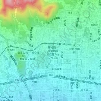
Name: 宇多川 topographic map, elevation, terrain.
Location: 宇多川, 花園寺ノ中町, 右京区, 京都市, 京都府, 6038577, 日本 (35.02588 135.72306 35.02600 135.72306)
Average elevation: 74 m
Minimum elevation: 34 m
Maximum elevation: 227 m