
上京区 topographic map
Interactive map
Click on the map to display elevation.
About this map
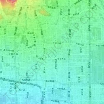
Name: 上京区 topographic map, elevation, terrain.
Location: 上京区, 京都市, 京都府, 日本 (35.01491 135.73294 35.03920 135.77170)
Average elevation: 63 m
Minimum elevation: 34 m
Maximum elevation: 162 m
Other topographic maps
Click on a map to view its topography, its elevation and its terrain.