
青森市 topographic map
Interactive map
Click on the map to display elevation.
About this map
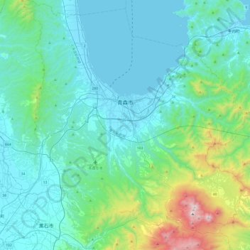
Name: 青森市 topographic map, elevation, terrain.
Location: 青森市, 青森県, 日本 (40.60593 140.52023 40.97023 140.98100)
Average elevation: 237 m
Minimum elevation: 0 m
Maximum elevation: 1,574 m
Other topographic maps
Click on a map to view its topography, its elevation and its terrain.