
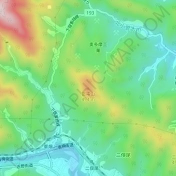
雷電山 topographic map
Interactive map
Click on the map to display elevation.
About this map
Name: 雷電山 topographic map, elevation, terrain.
Location: 雷電山, 東京都, 198-0171, 日本 (35.81549 139.21521 35.81559 139.21531)
Average elevation: 325 m
Minimum elevation: 187 m
Maximum elevation: 605 m
Other topographic maps
Click on a map to view its topography, its elevation and its terrain.