
弟島 topographic map
Interactive map
Click on the map to display elevation.
About this map
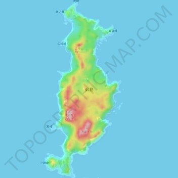
Name: 弟島 topographic map, elevation, terrain.
Location: 弟島, 小笠原支庁, 東京都, 日本 (27.14432 142.17963 27.19012 142.20217)
Average elevation: 18 m
Minimum elevation: -1 m
Maximum elevation: 218 m
Other topographic maps
Click on a map to view its topography, its elevation and its terrain.