
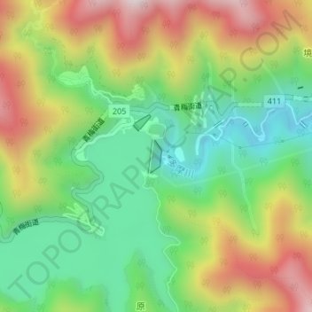
小河内ダム topographic map
Interactive map
Click on the map to display elevation.
About this map
Name: 小河内ダム topographic map, elevation, terrain.
Location: 小河内ダム, 奥多摩町, 西多摩郡, 東京都, 日本 (35.78825 139.05051 35.79117 139.05187)
Average elevation: 666 m
Minimum elevation: 378 m
Maximum elevation: 1,074 m
Other topographic maps
Click on a map to view its topography, its elevation and its terrain.