
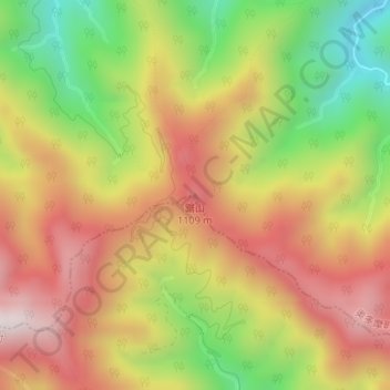
鋸山 topographic map
Interactive map
Click on the map to display elevation.
About this map
Name: 鋸山 topographic map, elevation, terrain.
Location: 鋸山, 東京都, 198-0212, 日本 (35.77919 139.10590 35.77929 139.10600)
Average elevation: 836 m
Minimum elevation: 420 m
Maximum elevation: 1,201 m
Other topographic maps
Click on a map to view its topography, its elevation and its terrain.