
白樺湖 topographic map
Interactive map
Click on the map to display elevation.
About this map
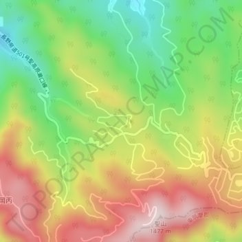
Name: 白樺湖 topographic map, elevation, terrain.
Location: 白樺湖, 長野市, 長野県, 日本 (36.49435 138.01507 36.49534 138.01658)
Average elevation: 1,167 m
Minimum elevation: 927 m
Maximum elevation: 1,425 m
Other topographic maps
Click on a map to view its topography, its elevation and its terrain.