
母袋 topographic map
Interactive map
Click on the map to display elevation.
About this map
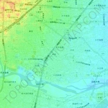
Name: 母袋 topographic map, elevation, terrain.
Location: 母袋, 長野市, 長野県, 380-0918, 日本 (36.61063 138.18538 36.65063 138.22538)
Average elevation: 351 m
Minimum elevation: 340 m
Maximum elevation: 377 m
Other topographic maps
Click on a map to view its topography, its elevation and its terrain.