
飯縄山 topographic map
Interactive map
Click on the map to display elevation.
About this map
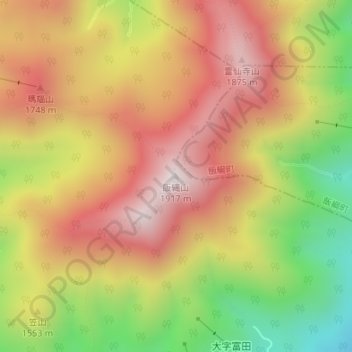
Name: 飯縄山 topographic map, elevation, terrain.
Location: 飯縄山, 長野市, 長野県, 日本 (36.73955 138.13373 36.73965 138.13383)
Average elevation: 1,539 m
Minimum elevation: 1,074 m
Maximum elevation: 1,906 m
Other topographic maps
Click on a map to view its topography, its elevation and its terrain.