
虫倉山 topographic map
Interactive map
Click on the map to display elevation.
About this map
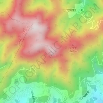
Name: 虫倉山 topographic map, elevation, terrain.
Location: 虫倉山, 長野市, 上水内郡, 長野県, 日本 (36.64988 138.01895 36.64998 138.01905)
Average elevation: 1,023 m
Minimum elevation: 636 m
Maximum elevation: 1,368 m
Other topographic maps
Click on a map to view its topography, its elevation and its terrain.