
水内ダム topographic map
Interactive map
Click on the map to display elevation.
About this map
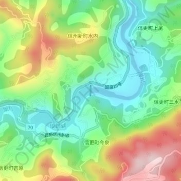
Name: 水内ダム topographic map, elevation, terrain.
Location: 水内ダム, 長野市, 上水内郡, 長野県, 日本 (36.57217 138.04549 36.57369 138.04558)
Average elevation: 538 m
Minimum elevation: 406 m
Maximum elevation: 754 m
Other topographic maps
Click on a map to view its topography, its elevation and its terrain.