
水源池 topographic map
Interactive map
Click on the map to display elevation.
About this map
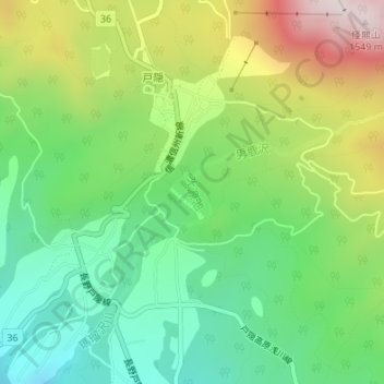
Name: 水源池 topographic map, elevation, terrain.
Location: 水源池, 長野市, 長野県, 381-4102, 日本 (36.73294 138.08678 36.73533 138.08775)
Average elevation: 1,152 m
Minimum elevation: 917 m
Maximum elevation: 1,544 m
Other topographic maps
Click on a map to view its topography, its elevation and its terrain.