
裾花ダム topographic map
Interactive map
Click on the map to display elevation.
About this map
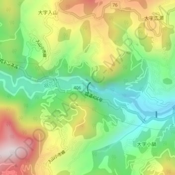
Name: 裾花ダム topographic map, elevation, terrain.
Location: 裾花ダム, 長野市, 長野県, 日本 (36.66728 138.11992 36.66887 138.12053)
Average elevation: 713 m
Minimum elevation: 447 m
Maximum elevation: 1,088 m
Other topographic maps
Click on a map to view its topography, its elevation and its terrain.