
中村 topographic map
Interactive map
Click on the map to display elevation.
About this map
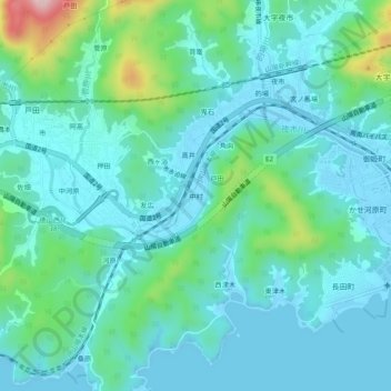
Name: 中村 topographic map, elevation, terrain.
Location: 中村, 周南市, 山口県, 日本 (34.05130 131.68531 34.09130 131.72531)
Average elevation: 54 m
Minimum elevation: -5 m
Maximum elevation: 290 m
Other topographic maps
Click on a map to view its topography, its elevation and its terrain.