
島地川 topographic map
Interactive map
Click on the map to display elevation.
About this map
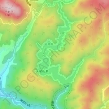
Name: 島地川 topographic map, elevation, terrain.
Location: 島地川, 周南市, 山口県, 日本 (34.17059 131.76823 34.18536 131.77580)
Average elevation: 366 m
Minimum elevation: 159 m
Maximum elevation: 605 m
Other topographic maps
Click on a map to view its topography, its elevation and its terrain.