
向道ダム topographic map
Interactive map
Click on the map to display elevation.
About this map
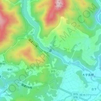
Name: 向道ダム topographic map, elevation, terrain.
Location: 向道ダム, 周南市, 山口県, 日本 (34.14389 131.82787 34.14475 131.82853)
Average elevation: 372 m
Minimum elevation: 275 m
Maximum elevation: 572 m
Other topographic maps
Click on a map to view its topography, its elevation and its terrain.