
川上 topographic map
Interactive map
Click on the map to display elevation.
About this map
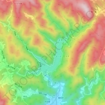
Name: 川上 topographic map, elevation, terrain.
Location: 川上, 周南市, 山口県, 日本 (34.09708 131.77023 34.13708 131.81023)
Average elevation: 237 m
Minimum elevation: 23 m
Maximum elevation: 463 m