
向道湖 topographic map
Interactive map
Click on the map to display elevation.
About this map
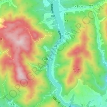
Name: 向道湖 topographic map, elevation, terrain.
Location: 向道湖, 黒瀬, 周南市, 山口県, 日本 (34.14397 131.81936 34.17987 131.82877)
Average elevation: 438 m
Minimum elevation: 278 m
Maximum elevation: 633 m