
周南市 topographic map
Interactive map
Click on the map to display elevation.
About this map
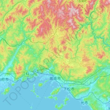
Name: 周南市 topographic map, elevation, terrain.
Location: 周南市, 山口県, 745-0801, 日本 (33.95692 131.63421 34.35619 132.03077)
Average elevation: 292 m
Minimum elevation: -3 m
Maximum elevation: 1,061 m
Other topographic maps
Click on a map to view its topography, its elevation and its terrain.