
浜田川 topographic map
Interactive map
Click on the map to display elevation.
About this map
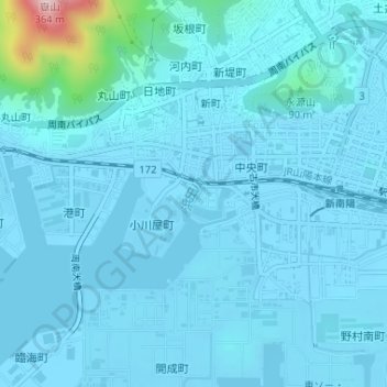
Name: 浜田川 topographic map, elevation, terrain.
Location: 浜田川, 浜田, 周南市, 山口県, 日本 (34.06717 131.75692 34.07138 131.75891)
Average elevation: 24 m
Minimum elevation: -4 m
Maximum elevation: 329 m