
大黒山 topographic map
Interactive map
Click on the map to display elevation.
About this map
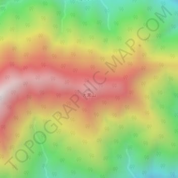
Name: 大黒山 topographic map, elevation, terrain.
Location: 大黒山, 早川町, 南巨摩郡, 山梨県, 409-2703, 日本 (35.45374 138.29234 35.45384 138.29244)
Average elevation: 1,539 m
Minimum elevation: 970 m
Maximum elevation: 2,098 m
Other topographic maps
Click on a map to view its topography, its elevation and its terrain.