
稲又山 topographic map
Interactive map
Click on the map to display elevation.
About this map
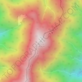
Name: 稲又山 topographic map, elevation, terrain.
Location: 稲又山, 早川町, 南巨摩郡, 山梨県, 日本 (35.38569 138.23853 35.38579 138.23863)
Average elevation: 1,926 m
Minimum elevation: 1,286 m
Maximum elevation: 2,397 m
Other topographic maps
Click on a map to view its topography, its elevation and its terrain.