
森山 topographic map
Interactive map
Click on the map to display elevation.
About this map
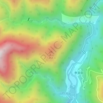
Name: 森山 topographic map, elevation, terrain.
Location: 森山, 早川町, 南巨摩郡, 山梨県, 409-2702, 日本 (35.58250 138.29341 35.58260 138.29351)
Average elevation: 1,148 m
Minimum elevation: 792 m
Maximum elevation: 1,714 m
Other topographic maps
Click on a map to view its topography, its elevation and its terrain.