
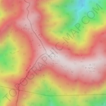
西別当代山 topographic map
Interactive map
Click on the map to display elevation.
About this map
Name: 西別当代山 topographic map, elevation, terrain.
Location: 西別当代山, 早川町, 南巨摩郡, 山梨県, 日本 (35.51398 138.27107 35.51408 138.27117)
Average elevation: 1,900 m
Minimum elevation: 1,352 m
Maximum elevation: 2,210 m
Other topographic maps
Click on a map to view its topography, its elevation and its terrain.