
奈良田湖 topographic map
Interactive map
Click on the map to display elevation.
About this map
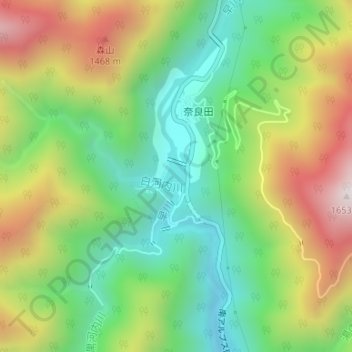
Name: 奈良田湖 topographic map, elevation, terrain.
Location: 奈良田湖, 早川町, 南巨摩郡, 山梨県, 日本 (35.56964 138.29851 35.57425 138.30154)
Average elevation: 1,114 m
Minimum elevation: 755 m
Maximum elevation: 1,647 m
Other topographic maps
Click on a map to view its topography, its elevation and its terrain.