
城山湖 topographic map
Interactive map
Click on the map to display elevation.
About this map
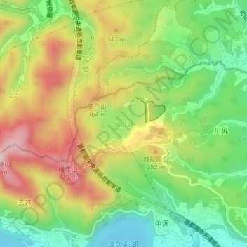
Name: 城山湖 topographic map, elevation, terrain.
Location: 城山湖, 緑区, 相模原市, 神奈川県, 日本 (35.60383 139.26772 35.60920 139.27539)
Average elevation: 263 m
Minimum elevation: 120 m
Maximum elevation: 439 m
Other topographic maps
Click on a map to view its topography, its elevation and its terrain.