
道志ダム topographic map
Interactive map
Click on the map to display elevation.
About this map
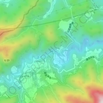
Name: 道志ダム topographic map, elevation, terrain.
Location: 道志ダム, 緑区, 相模原市, 神奈川県, 日本 (35.55020 139.13320 35.55075 139.13369)
Average elevation: 456 m
Minimum elevation: 268 m
Maximum elevation: 884 m
Other topographic maps
Click on a map to view its topography, its elevation and its terrain.