
檜洞丸 topographic map
Interactive map
Click on the map to display elevation.
About this map
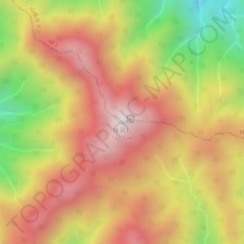
Name: 檜洞丸 topographic map, elevation, terrain.
Location: 檜洞丸, 相模原市, 神奈川県, 日本 (35.47895 139.10271 35.47905 139.10281)
Average elevation: 1,224 m
Minimum elevation: 734 m
Maximum elevation: 1,585 m
檜洞丸(ひのきぼらまる)は、丹沢山地西部、神奈川県相模原市と同県足柄上郡山北町の境にある標高1,601mの山である。別名、青ヶ岳(あおがたけ)。新字体で桧洞丸と表記されることもある。
Other topographic maps
Click on a map to view its topography, its elevation and its terrain.