
相模原市南区相武台三丁目 topographic map
Interactive map
Click on the map to display elevation.
About this map
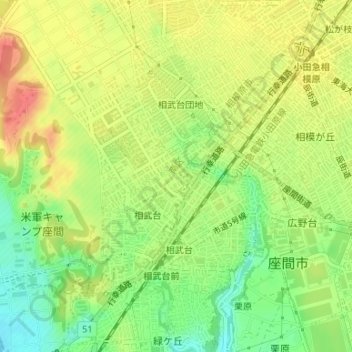
Name: 相模原市南区相武台三丁目 topographic map, elevation, terrain.
Location: 相模原市南区相武台三丁目, 相武台, 南区, 相模原市, 神奈川県, 日本 (35.50215 139.40666 35.50939 139.41342)
Average elevation: 84 m
Minimum elevation: 53 m
Maximum elevation: 112 m
Other topographic maps
Click on a map to view its topography, its elevation and its terrain.