
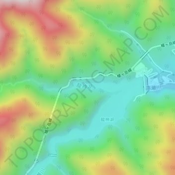
龍神湖 topographic map
Interactive map
Click on the map to display elevation.
About this map
Name: 龍神湖 topographic map, elevation, terrain.
Location: 龍神湖, 大町市, 長野県, 3980001, 日本 (36.51349 137.76269 36.51469 137.77960)
Average elevation: 1,107 m
Minimum elevation: 819 m
Maximum elevation: 1,585 m
Other topographic maps
Click on a map to view its topography, its elevation and its terrain.