
木崎湖 topographic map
Interactive map
Click on the map to display elevation.
About this map
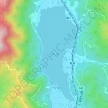
Name: 木崎湖 topographic map, elevation, terrain.
Location: 木崎湖, 大町市, 上水内郡, 長野県, 日本 (36.54339 137.83165 36.56770 137.84399)
Average elevation: 876 m
Minimum elevation: 753 m
Maximum elevation: 1,283 m
Other topographic maps
Click on a map to view its topography, its elevation and its terrain.