
三ツ岳 topographic map
Interactive map
Click on the map to display elevation.
About this map
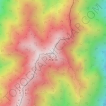
Name: 三ツ岳 topographic map, elevation, terrain.
Location: 三ツ岳, 大町市, 長野県, 日本 (36.45470 137.64942 36.45480 137.64952)
Average elevation: 2,437 m
Minimum elevation: 1,817 m
Maximum elevation: 2,838 m
Other topographic maps
Click on a map to view its topography, its elevation and its terrain.