
餓鬼岳 topographic map
Interactive map
Click on the map to display elevation.
About this map
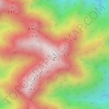
Name: 餓鬼岳 topographic map, elevation, terrain.
Location: 餓鬼岳, 大町市, 長野県, 日本 (36.44717 137.73599 36.44727 137.73609)
Average elevation: 2,170 m
Minimum elevation: 1,574 m
Maximum elevation: 2,615 m
餓鬼岳(がきだけ)は、飛騨山脈(北アルプス)にある標高2,647mの山。山体すべてが長野県に属し、中部山岳国立公園内にあり、日本二百名山に選定されている。
Other topographic maps
Click on a map to view its topography, its elevation and its terrain.