
北葛岳 topographic map
Interactive map
Click on the map to display elevation.
About this map
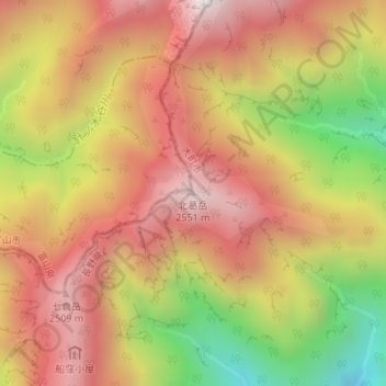
Name: 北葛岳 topographic map, elevation, terrain.
Location: 北葛岳, 大町市, 長野県, 日本 (36.51760 137.70549 36.51770 137.70559)
Average elevation: 2,101 m
Minimum elevation: 1,434 m
Maximum elevation: 2,571 m
Other topographic maps
Click on a map to view its topography, its elevation and its terrain.