
金足高岡字稲荷林 topographic map
Interactive map
Click on the map to display elevation.
About this map
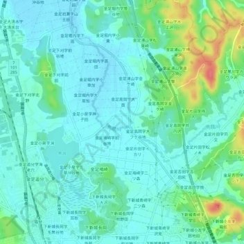
Name: 金足高岡字稲荷林 topographic map, elevation, terrain.
Location: 金足高岡字稲荷林, 秋田市, 秋田県, 010-0125, 日本 (39.80520 140.05585 39.84520 140.09585)
Average elevation: 20 m
Minimum elevation: 5 m
Maximum elevation: 73 m
Other topographic maps
Click on a map to view its topography, its elevation and its terrain.