
外旭川字鳥谷場 topographic map
Interactive map
Click on the map to display elevation.
About this map
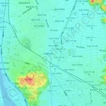
Name: 外旭川字鳥谷場 topographic map, elevation, terrain.
Location: 外旭川字鳥谷場, 秋田市, 秋田県, 011-0941, 日本 (39.73129 140.07226 39.77129 140.11226)
Average elevation: 11 m
Minimum elevation: -1 m
Maximum elevation: 54 m
Other topographic maps
Click on a map to view its topography, its elevation and its terrain.