
太平目長崎字目長崎 topographic map
Interactive map
Click on the map to display elevation.
About this map
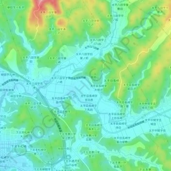
Name: 太平目長崎字目長崎 topographic map, elevation, terrain.
Location: 太平目長崎字目長崎, 秋田市, 秋田県, 010-8525, 日本 (39.71891 140.16752 39.75891 140.20752)
Average elevation: 38 m
Minimum elevation: 6 m
Maximum elevation: 128 m
Other topographic maps
Click on a map to view its topography, its elevation and its terrain.