
金足大清水字家ノ下 topographic map
Interactive map
Click on the map to display elevation.
About this map
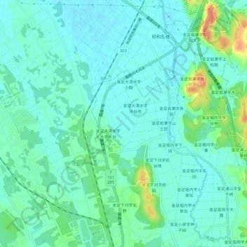
Name: 金足大清水字家ノ下 topographic map, elevation, terrain.
Location: 金足大清水字家ノ下, 秋田市, 秋田県, 010-0124, 日本 (39.82288 140.03542 39.86288 140.07542)
Average elevation: 12 m
Minimum elevation: 1 m
Maximum elevation: 45 m
Other topographic maps
Click on a map to view its topography, its elevation and its terrain.