
飯島字古道下川端 topographic map
Interactive map
Click on the map to display elevation.
About this map
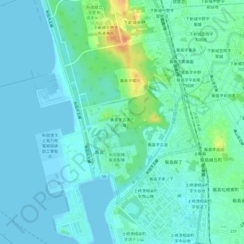
Name: 飯島字古道下川端 topographic map, elevation, terrain.
Location: 飯島字古道下川端, 秋田市, 秋田県, 011-0945, 日本 (39.76310 140.03198 39.80310 140.07198)
Average elevation: 8 m
Minimum elevation: -1 m
Maximum elevation: 38 m
Other topographic maps
Click on a map to view its topography, its elevation and its terrain.