
玉川湖 topographic map
Interactive map
Click on the map to display elevation.
About this map
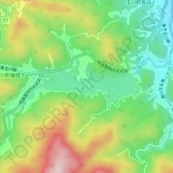
Name: 玉川湖 topographic map, elevation, terrain.
Location: 玉川湖, 今治市, 愛媛県, 日本 (33.98804 132.91143 33.99489 132.93387)
Average elevation: 218 m
Minimum elevation: 85 m
Maximum elevation: 420 m
Other topographic maps
Click on a map to view its topography, its elevation and its terrain.