
古谷 topographic map
Interactive map
Click on the map to display elevation.
About this map
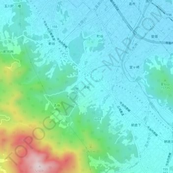
Name: 古谷 topographic map, elevation, terrain.
Location: 古谷, 今治市, 愛媛県, 799-1607, 日本 (33.98920 132.97841 34.02920 133.01841)
Average elevation: 103 m
Minimum elevation: 7 m
Maximum elevation: 493 m
Other topographic maps
Click on a map to view its topography, its elevation and its terrain.