
台ダム topographic map
Interactive map
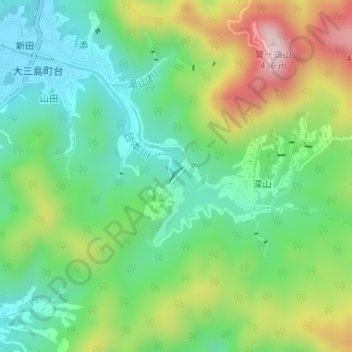
Click on the map to display elevation.
About this map
Name: 台ダム topographic map, elevation, terrain.
Location: 台ダム, 深山, 今治市, 愛媛県, 日本 (34.22816 133.01173 34.22957 133.01333)
Average elevation: 145 m
Minimum elevation: 0 m
Maximum elevation: 411 m
Other topographic maps
Click on a map to view its topography, its elevation and its terrain.