
大下島 topographic map
Interactive map
Click on the map to display elevation.
About this map
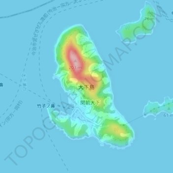
Name: 大下島 topographic map, elevation, terrain.
Location: 大下島, 今治市, 愛媛県, 日本 (34.18240 132.91764 34.20209 132.93435)
Average elevation: 12 m
Minimum elevation: 0 m
Maximum elevation: 173 m
Other topographic maps
Click on a map to view its topography, its elevation and its terrain.