
いなさ湖 topographic map
Interactive map
Click on the map to display elevation.
About this map
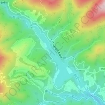
Name: いなさ湖 topographic map, elevation, terrain.
Location: いなさ湖, 北区, 浜松市, 静岡県, 日本 (34.87647 137.70216 34.89531 137.72579)
Average elevation: 191 m
Minimum elevation: 69 m
Maximum elevation: 427 m
Other topographic maps
Click on a map to view its topography, its elevation and its terrain.