
戸中川 topographic map
Interactive map
Click on the map to display elevation.
About this map
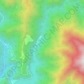
Name: 戸中川 topographic map, elevation, terrain.
Location: 戸中川, 浜松市, 静岡県, 日本 (35.18414 137.93519 35.21986 137.95916)
Average elevation: 813 m
Minimum elevation: 355 m
Maximum elevation: 1,624 m
Other topographic maps
Click on a map to view its topography, its elevation and its terrain.