
京丸川 topographic map
Interactive map
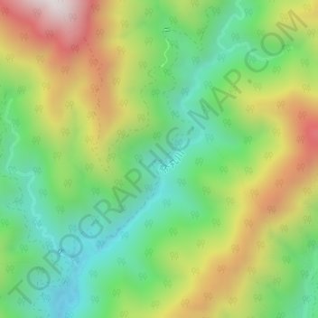
Click on the map to display elevation.
About this map
Name: 京丸川 topographic map, elevation, terrain.
Location: 京丸川, 浜松市, 静岡県, 日本 (35.06944 137.97175 35.08775 137.98707)
Average elevation: 758 m
Minimum elevation: 415 m
Maximum elevation: 1,278 m
Other topographic maps
Click on a map to view its topography, its elevation and its terrain.