
京丸山 topographic map
Interactive map
Click on the map to display elevation.
About this map
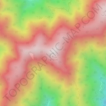
Name: 京丸山 topographic map, elevation, terrain.
Location: 京丸山, 浜松市, 静岡県, 日本 (35.09597 137.96585 35.09607 137.96595)
Average elevation: 1,085 m
Minimum elevation: 521 m
Maximum elevation: 1,446 m
Other topographic maps
Click on a map to view its topography, its elevation and its terrain.