
西区 topographic map
Interactive map
Click on the map to display elevation.
About this map
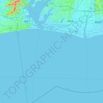
Name: 西区 topographic map, elevation, terrain.
Location: 西区, 浜松市, 静岡県, 日本 (34.40647 137.55481 34.78840 137.70211)
Average elevation: 9 m
Minimum elevation: -5 m
Maximum elevation: 397 m
Other topographic maps
Click on a map to view its topography, its elevation and its terrain.