
柱島 topographic map
Interactive map
Click on the map to display elevation.
About this map
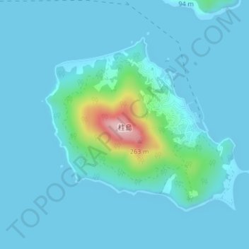
Name: 柱島 topographic map, elevation, terrain.
Location: 柱島, 岩国市, 山口県, 日本 (34.01133 132.40187 34.03024 132.43077)
Average elevation: 26 m
Minimum elevation: 0 m
Maximum elevation: 264 m
Other topographic maps
Click on a map to view its topography, its elevation and its terrain.